


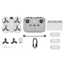
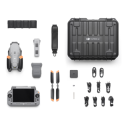

This bundle includes :
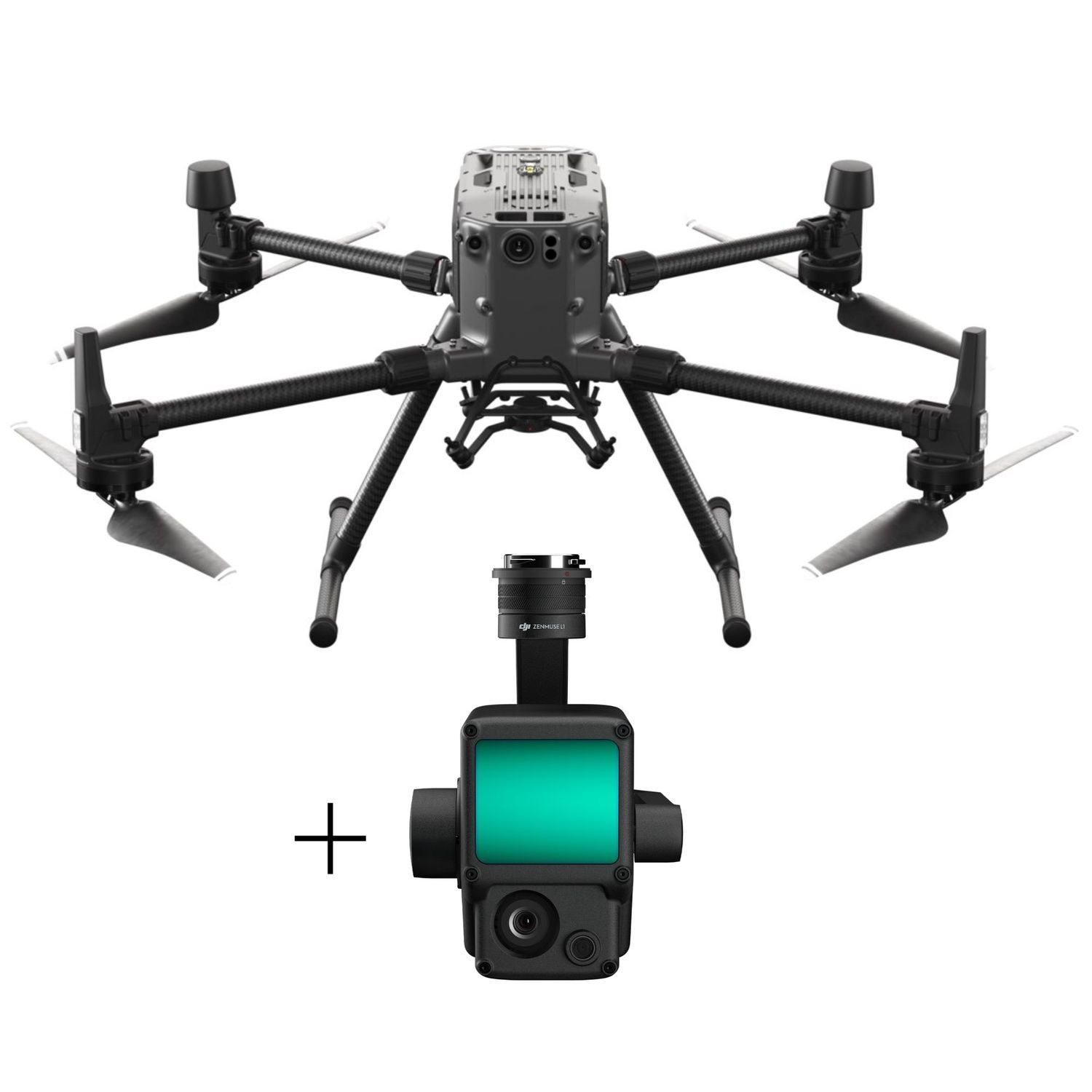
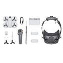
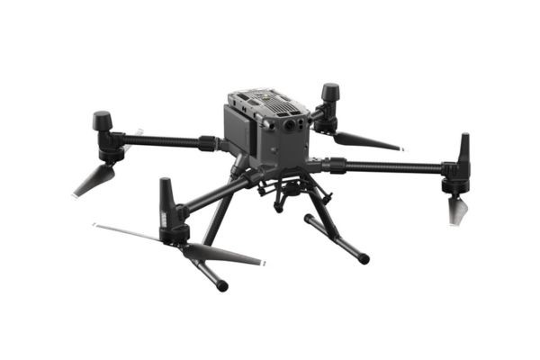
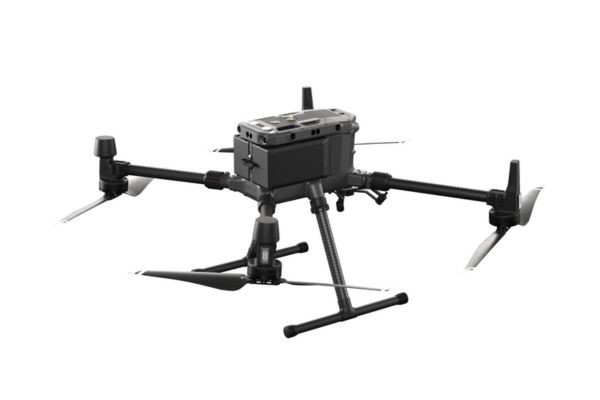
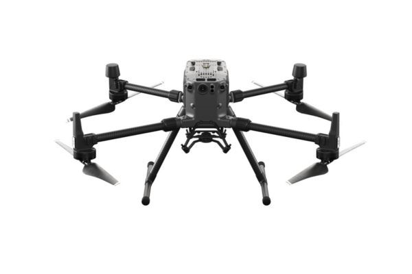
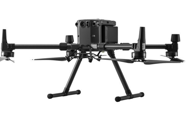
DJI Matrice M300 RTK Universal Edition - Drone Only
1 x DJI Zenmuse L1 Payload for M300 RTK
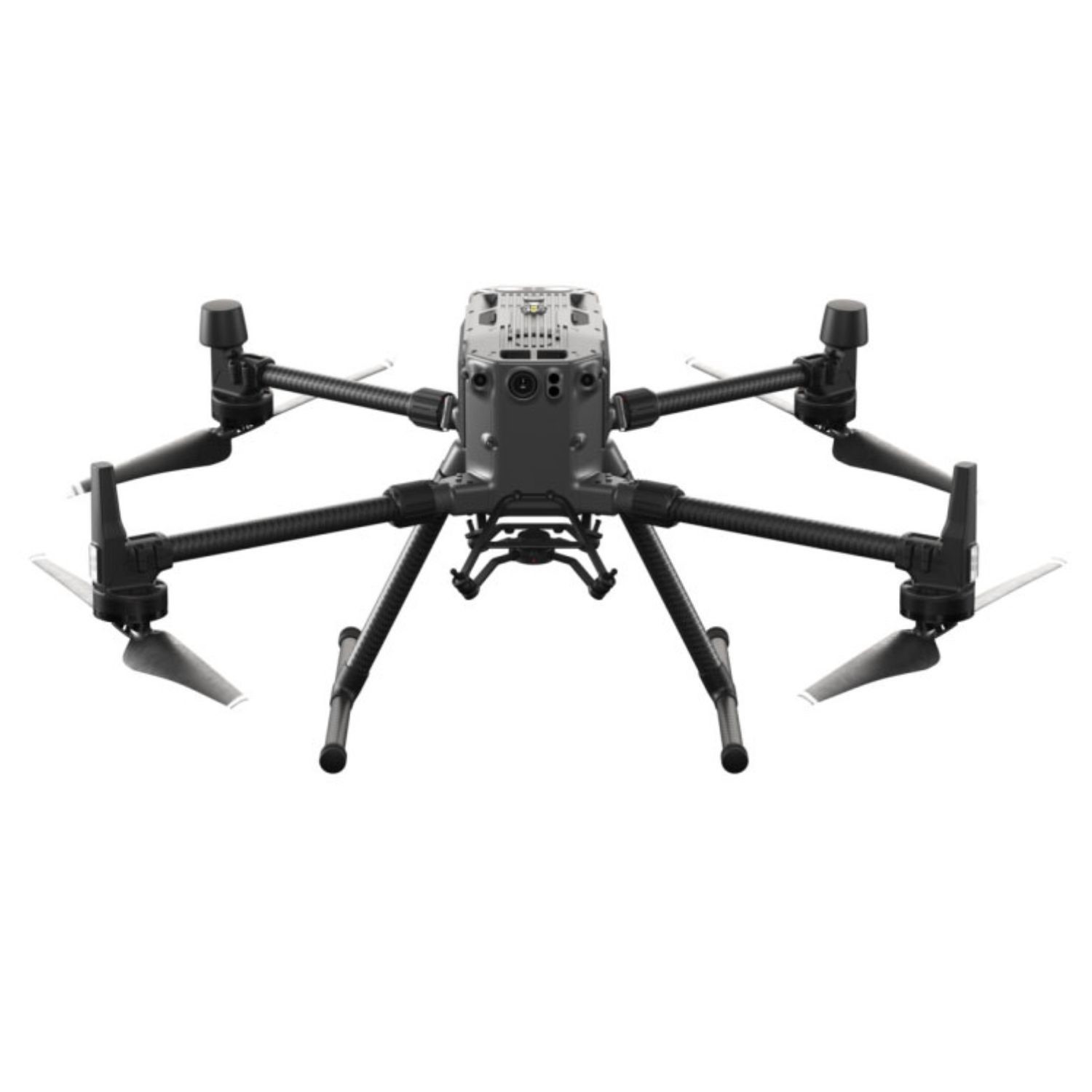
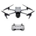
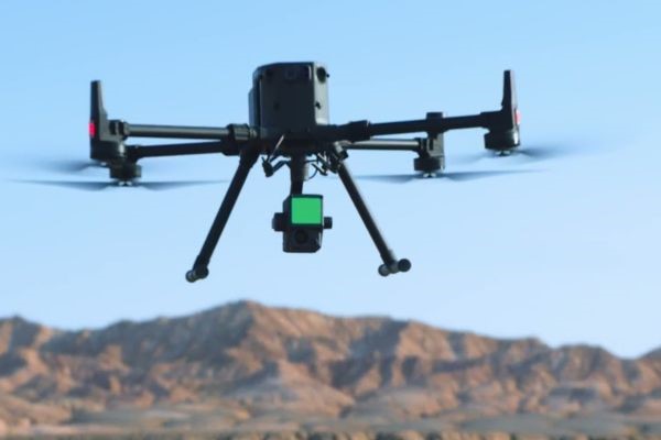
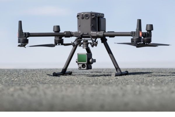
DJI Matrice M300 RTK Universal Edition - Drone Only
IMPROVED TRANSMISSION SYSTEM
DJI’s all-new OcySync Enterprise enables transmission up to 15km away and supports triple channel 1080p video (Only supported by dual RC). Real-time auto-switching between 2.4 GHz and 5.8 GHz enables more reliable flight near high-interference environments, while AES-256 encryption offers secure data transmission.
ENHANCED FLIGHT PERFORMANCE
The refined airframe and propulsion system design gives you a more efficient and stable flight, even in harsh conditions. With a maximum flight time of 55 minutes, a 7000m Service Ceiling (with high altitude propellers) and the ability to resists winds up 15m/s you will be prepared for every situation.
MULTIPLE PAYLOAD CONFIGURATIONS
Configure your Matrice 300 RTK to fit your mission needs. Mount up to 3 payloads simultaneously, with a maximum payload capacity of 2.7 kg..
LIVE MISSION RECORDING
Record mission actions such as aircraft movement, gimbal orientation, photo shooting, and zoom level to create sample mission files for future automated inspections.
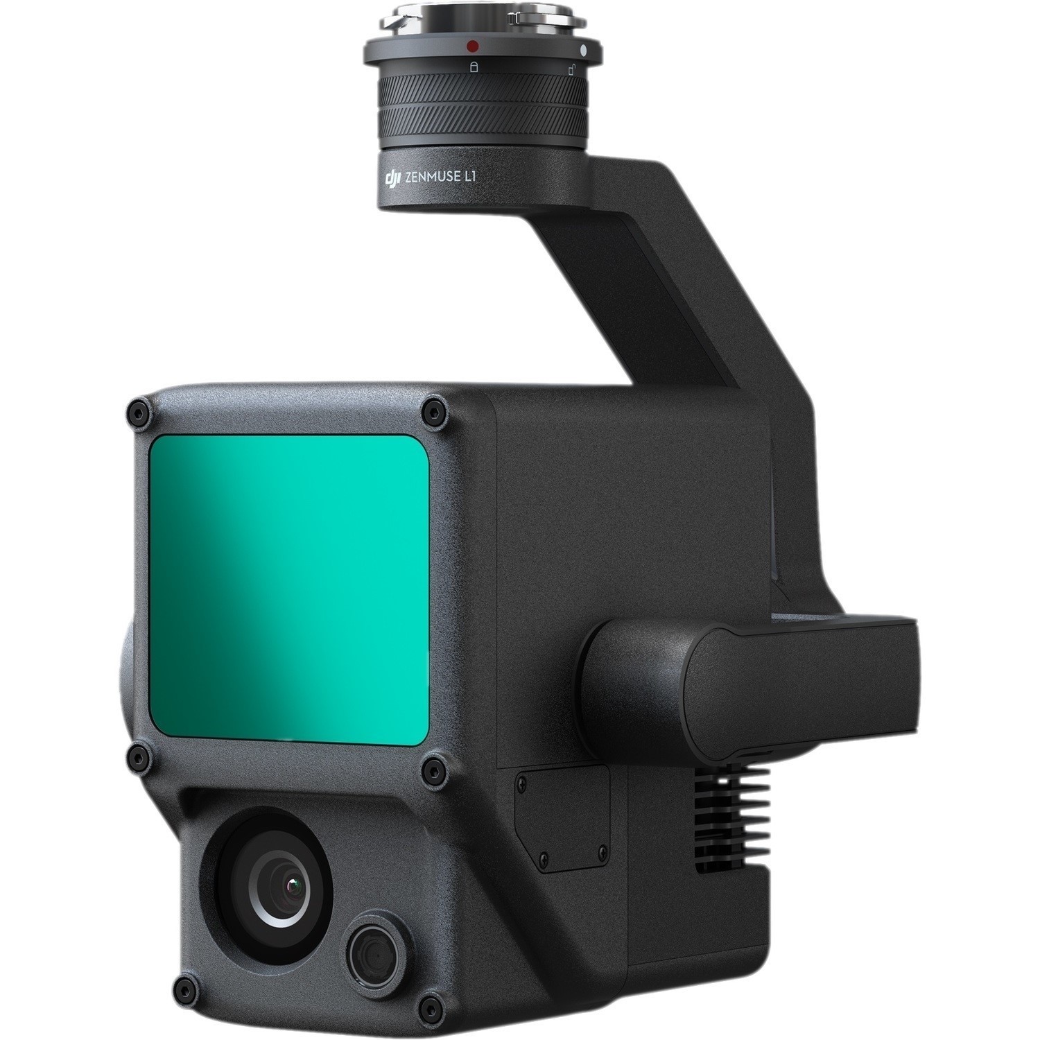
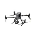
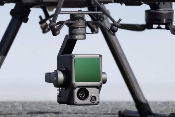
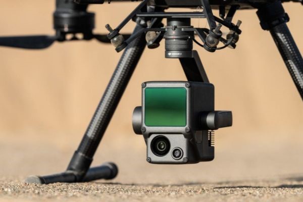
DJI Zenmuse L1 Payload for M300 RTK
EFFICIENT, ACCURATE, COST-EFFECTIVE
The DJI Zenmuse L1 is a cost-efficient and easy to use enterprise aerial LiDAR payload, engineered for the M300 RTK and M350 RTK. The L1 integrates a Livox sensor, high-precision IMU, a one-inch 20MP CMOS visual camera with mechanical shutter, and 3-axis stabilised gimbal system. Combine it with the M300 RTK or M350 RTK and the mapping software DJI Terra for a highly-efficient all-in-one aerial LiDAR solution to obtain 3D point clouds for high accuracy and detailed reconstruction. The L1 can be used across a range of industry verticals, such as energy, AEC, forestry, public safety, and more
THE HIGHLIGHTS OF L1
All-in-one Solution: Integrates a Lidar module, an RGB camera, and a high-accuracy IMU.
High Accuracy: Vertical - 5cm; Horizontal - 10cm (with 50m flight height).
Efficient: Cover 2km² in a single flight (flight velocity 10 m/s, flight height 100m, side overlap ratio 20%).
High Density Point Cloud: 240,000 effective points/s.
Multiple Returns: Support three returns (Dual and Triple returns to increase the point cloud density to up to 480,000 pts/sec).
Real-time Point Cloud View: Able to display and measure point clouds in real time.
Weather Resistant: IP54 rating, enabling operators to collect data in rainy or foggy environments.
DJI L1 ADDITIONAL FEATURES
Payload Health Management System: Built into the DJI Pilot app, the Payload Health Management System records the total use time of the DJI L1, as well as the number of rotation times, error logs, and product maintenance suggestions.
Real-time Awareness Flight: The LiDAR sensor can obtain the aircraft's height above the ground in real-time and perform a terrain awareness flight to ensure data quality and flight safety.
Accuracy Report: After the flight, DJI Pilot will generate an inspection report, view the quality of the point-cloud data, the photo position, number of photos, and the RTK status, so the pilot can confirm the quality of the data on-site.
GENERATING ACCURATE MODELS
The DJI L1 is aimed at commercial drone users who are seeking high-accuracy aerial surveying solutions. The LiDAR sensor can empower clients in energy, AEC, public safety, architecture/heritage, and forestry management. The L1 is ideal for the following scenarios:
Topographic Survey: Collect elevation data in a dense vegetation field. The L1 is able to extract Digital Elevation Models (DEM) and Digital Surface Models (DSM).
Infrastructure Reconstruction: Reconstruct highly-detailed structures such as power lines, and oil and gas pipelines to reduce manned operations - improving efficiency and increasing safety.
Forestry: Due to the multi-echo capability of the DJI L1, the elevation data in dense forest fields can be easily generated and extracted into DEM and DSM.
Emergency Mapping Survey: The DJI L1 is capable of capturing real-time, true colour point-cloud models. This provides up to date information for emergency response teams. The IP54-rated L1 can also operate in rainy/foggy conditions, as well as low-light scenarios.
